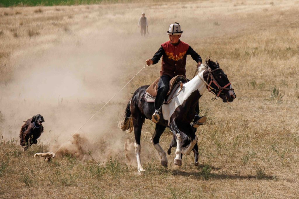
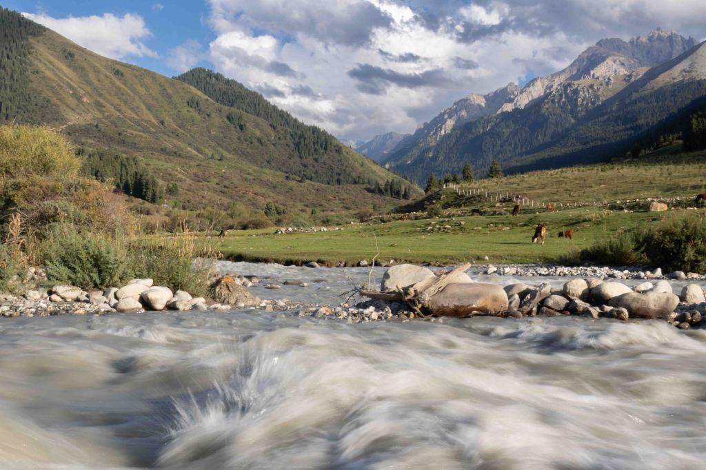
In August 2026, after an 18 year hiatus, the World Nomad Games lured me back to Kyrgyzstan. I was excited to return to a country where nomadic traditions, Silk Road history and extraordinary mountain landscapes remain closely intertwined.
Kyrgyzstan, officially the Kyrgyz Republic, is a mountainous, landlocked country located in Central Asia and bordered by Kazakhstan, Uzbekistan, Tajikistan and China.
Kyrgyzstan’s position on the Silk Road placed it within the orbit of many cultures: Turks, Mongols, Manchus and Uzbeks all inhabited the region. Kyrgyzstan became part of the Russian Empire in 1876, then a republic of the Soviet Union in 1936 before declaring independence from the USSR in 1991.
Bishkek
The capital, Bishkek, lies in the north of the country near the border with Kazakhstan. Ethnic Kyrgyz form the majority of Kyrgyzstan’s 7.5 million people, alongside significant Uzbek and Russian minorities.
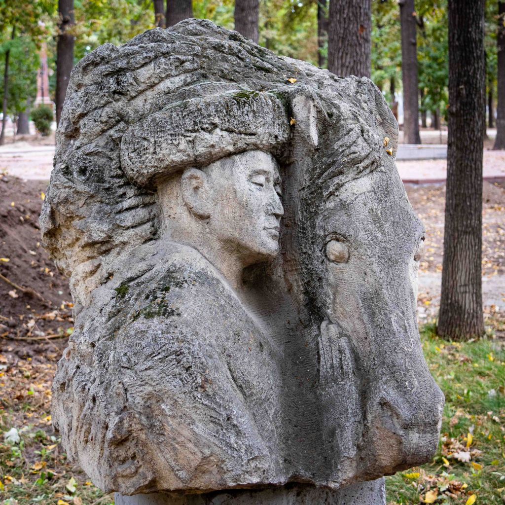
Bishkek is a pleasant city to explore, with broad, tree-lined boulevards leading to expansive squares and flower-filled parks. Statues and sculptures of local heroes and Russian leaders stand amid a cityscape where austere Soviet-era architecture contrasts with modern skyscrapers.
Karakol
A six hour bus journey carried us along the northern and eastern shores of Issyk-Kul lake, the world’s second largest salt water lake. Our destination was Karakol, the gateway to the Tien Shan mountains. After our overnight stay we visited a distinctive wooden mosque built by the Dungan (Hui Muslim refugees from China) and a wooden Russian Orthodox church, before one final espresso fuelled us for the trail ahead.
Hiking day 1: 19.5km, 1,100m total ascent
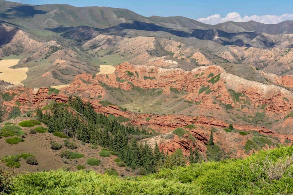
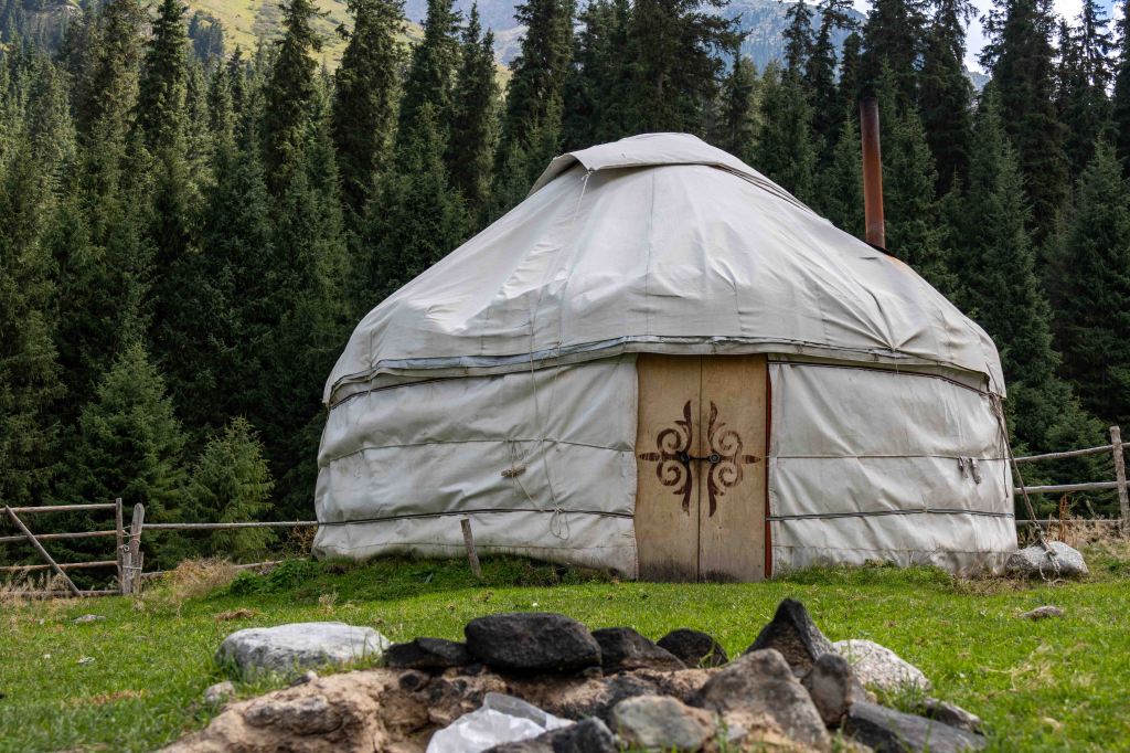
We began hiking through the red rock valley of Jety-Orguz, whose famous sandstone formation is known as the ‘Seven Bulls’. Horses and cows grazed on the gentle hills that sloped down to Issyk-Kul. We spent the first night in relative luxury, in a small family run yurt complex with a makeshift, but surprisingly effective, sauna.
Hiking day 2: 23km, 1,150m total ascent
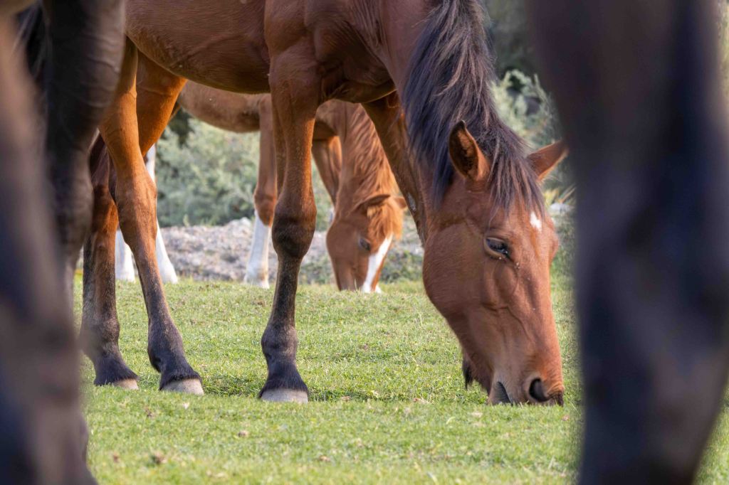
We followed the Jukku Valley along a route used by explorers travelling towards Chinese Turkistan in the 1930s. The landscape was dotted with shepherds’ huts, and the scent of mint and thyme rose from the ground as we gathered wild strawberries. After a refreshing lunchtime plunge into the chilly river, we discovered a hidden canyon filled with remarkable rock formations.
Hiking day 3: 21km, 1,200m total ascent
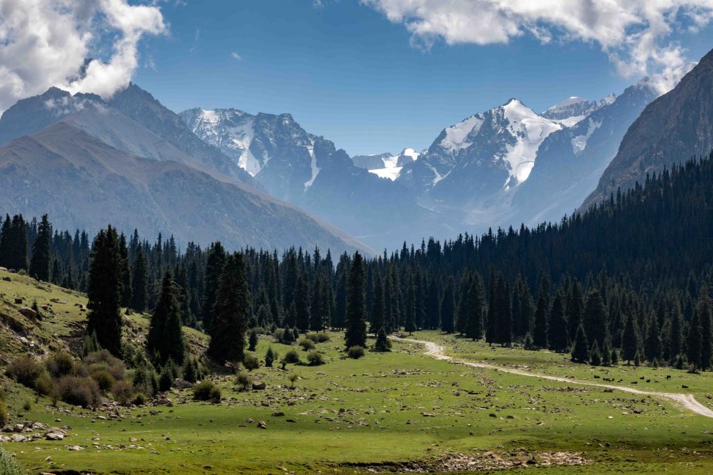
We continued climbing through the Jukku Valley, surrounded by pine clad mountains capped with snow. At lunchtime we stopped to meet a shepherd and his family, watching the men re-shoe our horses while the women baked fresh bread and boiled sheep heads. Thankfully, we were only offered the bread along with a cup of their delicious homemade tan (fermented milk).
That evening, for the first and only time, there was enough dead wood to build a fire. We sat around the flames roasting marshmallows and sipping cognac, and watched the sky brighten as the moon rose from behind the mountains.
Hiking day 4: 22km, 1,350m total ascent
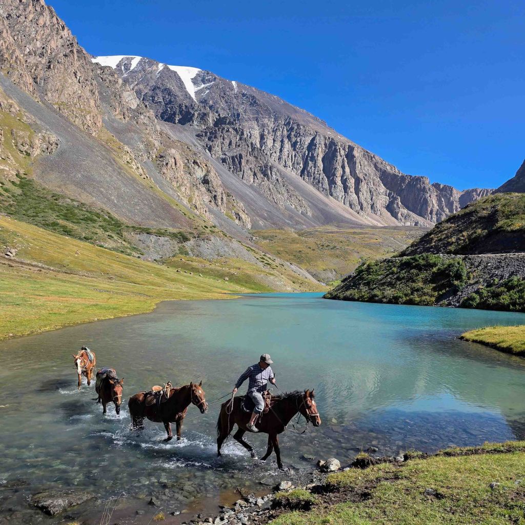
A little farther up the valley, we came across a Turkish burial mound and Tibetan script engraved on large rock – traces of the people who travelled this route towards China hundreds of years ago. Beyond them, the trees petered out and the landscape became increasingly rugged and rocky. We crossed the striking turquoise Jukku Lake on horseback, sending ripples across its glassy surface. After pitching our tents on the meadow, we treated our bodies to an exhilarating dip in the icy water.
Hiking day 5: 20.5km, 1,350m total ascent
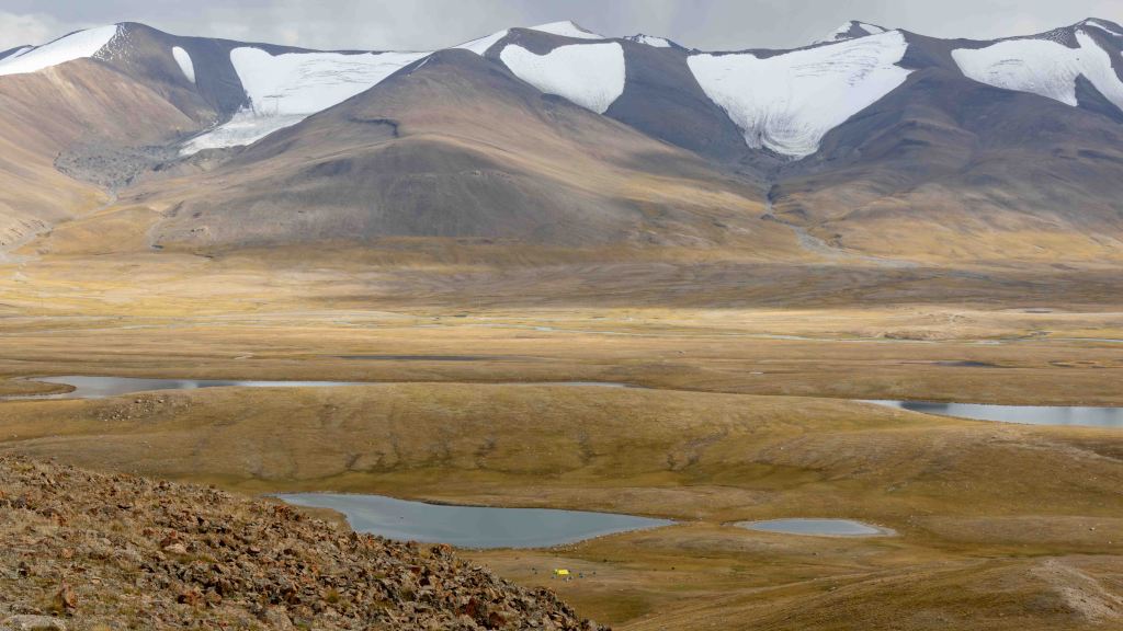
We hiked up the steep and rocky Jukku Pass (3,640m), to reach the Arabel Syrt plateau, an open expanse of grassland broken up by lakes and streams and surrounded by glaciated peaks. In summer it’s a key grazing area though by the time we arrived the remaining cows and sheep were being herded down for winter.
We established camp beside another lake, then climbed to a panoramic viewpoint at 4,000m. Lichens covered the rocks, signalling clean air, while succulents and edelweiss formed a low carpet across the ground, revealing how much life can persist in this high-altitude environment.
That evening, just after we settled into our tent, the first rain of the trip arrived as a huge thunderstorm. Hail hammered our tents and remained intact on the ground the next morning. Camping in such an exposed place was a little unsettling, although I was more concerned about the horses than us.
Hiking day 6: 3km, 95m total ascent
Our final day involved a short walk to a road connecting a gold mine to civilisation. We boarded our minibus and descended 32 hairpin bends on a road being transformed by a incredible feat of Chinese construction.
We drove to Tamga village where we gently adjusted to civilisation at Pavel’s Guesthouse, a peaceful spot with gardens filled with fruit trees, flowers and discrete seating areas.
Return to Bishkek
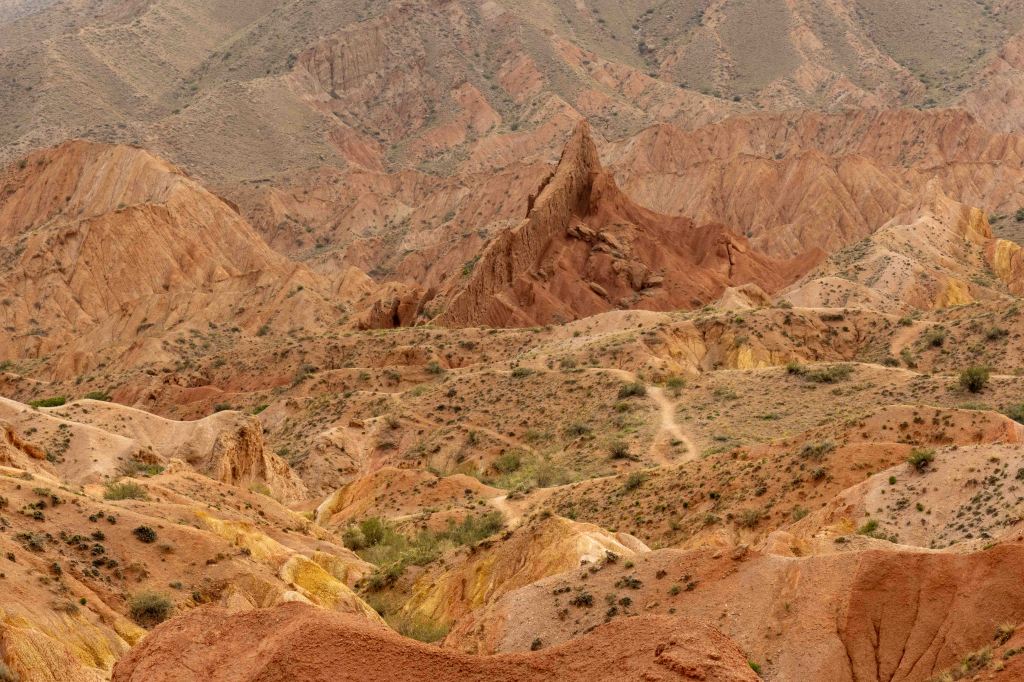
It was a long drive back to Bishkek but the journey still had a few adventures in store: a dip in Issyk-Kul, a walk through the sculpted landscape of Skazka ‘Fairytale’ Canyon, and demonstrations of eagle and dog hunting and yurt building. If anyone is interested in buying a flat-packed yurt, I have the family’s contact details!
The mountains of Kyrgyzstan remain timeless, and the warmth and hospitality of its people endure. Each day brought new landscapes and experiences, making Kyrgyzstan a truly unforgettable destination.